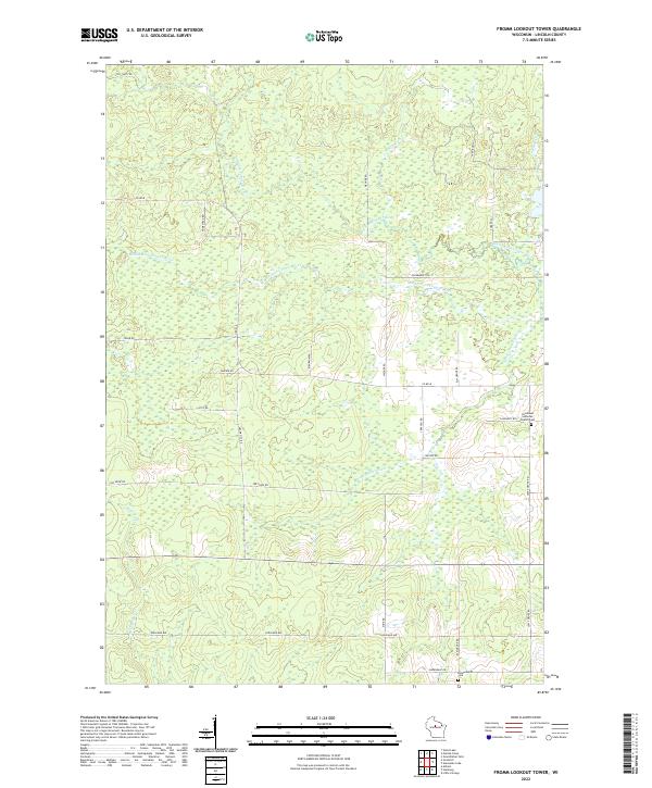
2022 Map of Fromm Lookout Tower
USGS Topo · Published 2022About this map
The Middle Fork Copper River, North Fork Copper River, and South Fork Copper River converge and wind through this section of Lincoln County, defining a landscape of low-lying wetlands and creek drainages. The rural settlement pattern is reflected in family-named landmarks and local road networks, with Immanuel Lutheran Church and the adjacent Immanuel Lutheran Church Cem serving as a focal point for the community. In the southern portion of the map, the Kleinschmidt Cem sits near Greendale Dr, marking another site of genealogical interest. The grid of country roads, including Hager City Rd and Joe Snow Rd, provides access to the scattered homesteads and woodland tracts between McGinnis Cr and Garrison Cr. This modern survey illustrates the persistent rural character of the area, where the drainage basins of the Copper River forks continue to dictate the placement of transportation routes and agricultural plots.
Find a feature on this map
32 named features on this map. Tap any name to fly to it.
Don’t see what you’re looking for? This feature index may not catch every label — zoom into the map to look around manually.
Map Details
Editions of this 2022 Fromm Lookout Tower Map
This is the sole edition of this map. No revisions or reprints were ever made.
Other maps of this area

1902 · Marathon
USGS Topo · 1:125,000

1945 · Rib Lake
USGS Topo · 1:48,000

1947 · Rib Lake
USGS Topo · 1:48,000

1949 · Rib Lake
USGS Topo · 1:48,000

1950 · Spirit Falls
USGS Topo · 1:48,000

1951 · Athens
USGS Topo · 1:48,000

1951 · Hamburg
USGS Topo · 1:48,000

1952 · Spirit Falls
USGS Topo · 1:48,000

1953 · Rice Lake
USGS Topo · 1:250,000

1954 · Iron Mountain
USGS Topo · 1:250,000