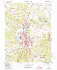
1967 Map of Front Royal
USGS Topo · Published 1987About this map
Front Royal serves as the focal point of this Virginia survey, situated at the confluence of the North Fork and South Fork Shenandoah Rivers. The town's industrial and institutional footprint is evident through landmarks like Viscose City, the Randolph Macon Military Academy, and the Courthouse at the center of the grid. Transportation networks converge here, with the Norfolk and Western and Southern railroads navigating the river bends near Riverton Junction. To the south, the landscape transitions into the protected slopes of Shenandoah National Park, marked by the winding Skyline Drive and the Appalachian National Scenic Trail. Local genealogy is well-represented by rural sites like The Pine Hills Community Church and the large Prospect Hill Cemetery, while unique geological features like the Skyline Caverns Entrance and the Valley of Retreat define the southern terrain.
Find a feature on this map
81 named features on this map. Tap any name to fly to it.
Don’t see what you’re looking for? This feature index may not catch every label — zoom into the map to look around manually.
Map Details
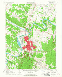
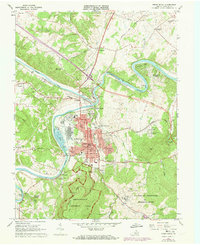
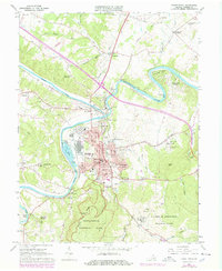
Editions of this 1967 Front Royal Map
4 editions found
Other maps of this area

1893 · Luray
USGS Topo · 1:125,000

1894 · Winchester
USGS Topo · 1:125,000

1905 · Luray
USGS Topo · 1:125,000

1923 · Middletown
USGS Topo · 1:62,500

1937 · Middletown
USGS Topo · 1:48,000

1938 · Winchester
USGS Topo · 1:48,000

1939 · Front Royal
USGS Topo · 1:48,000

1942 · Winchester
USGS Topo · 1:62,500

1943 · Middletown
USGS Topo · 1:62,500

1944 · Front Royal
USGS Topo · 1:62,500