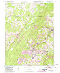
1949 Map of Frostburg
USGS Topo · Published 1982About this map
Frostburg serves as the focal point of this Allegany County survey, revealing a landscape defined by the intersection of early American transportation and Appalachian industry. The National Road and the Mason and Dixon Line traverse the northern and central portions of the sheet, while the town itself hosts the Frostburg State Teachers College. Heavy industrial activity is evident through numerous Strip Mines and settlements like Eckhart Mines, Borden Shaft, and Midlothian, all linked by the Western Maryland RR and the Cumberland and Pennsylvania RR. These rail lines navigate the steep grades of Big Savage Mountain and Little Savage Mountain, providing a route for coal and timber extraction from the Savage River State Forest. Local genealogy is well-supported by the presence of numerous small schools and cemeteries, including the Dutch Hollow Sch and Rose Meadow Cem, alongside smaller communities like Zihlman and Carlos.
Find a feature on this map
71 named features on this map. Tap any name to fly to it.
Don’t see what you’re looking for? This feature index may not catch every label — zoom into the map to look around manually.
Map Details
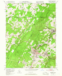
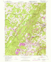
Editions of this 1949 Frostburg Map
3 editions found
Other maps of this area

1898 · Frostburg
USGS Topo · 1:62,500

1899 · Grantsville
USGS Topo · 1:62,500

1901 · Frostburg
USGS Topo · 1:62,500

1904 · Grantsville
USGS Topo · 1:62,500

1908 · Frostburg
USGS Topo · 1:62,500

1921 · Meyersdale
USGS Topo · 1:62,500

1923 · Berlin
USGS Topo · 1:48,000

1929 · Berlin
USGS Topo · 1:62,500

1939 · Meyersdale
USGS Topo · 1:62,500

1944 · Berlin
USGS Topo · 1:62,500