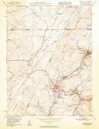
1951 Map of Frostburg
USGS Topo · Published 1951About this map
Frostburg and its surrounding coal-country settlements are captured here in the early 1950s, revealing an industrial landscape defined by the intersection of mountain geography and rail transport. The Cumberland and Pennsylvania RR and Western Maryland RR wind through the ridges, serving established communities like Mount Savage, Eckhart Mines, and Midlothian. The map highlights the educational and social core of the region at Frostburg State Teachers College and various local schools such as Dutch Hollow Sch and Beall Sch.
Find a feature on this map
74 named features on this map. Tap any name to fly to it.
Don’t see what you’re looking for? This feature index may not catch every label — zoom into the map to look around manually.
Map Details
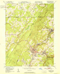
Editions of this 1951 Frostburg Map
2 editions found
Other maps of this area

1898 · Frostburg
USGS Topo · 1:62,500

1899 · Grantsville
USGS Topo · 1:62,500

1901 · Frostburg
USGS Topo · 1:62,500

1904 · Grantsville
USGS Topo · 1:62,500

1908 · Frostburg
USGS Topo · 1:62,500

1921 · Meyersdale
USGS Topo · 1:62,500

1923 · Berlin
USGS Topo · 1:48,000

1929 · Berlin
USGS Topo · 1:62,500

1939 · Meyersdale
USGS Topo · 1:62,500

1944 · Berlin
USGS Topo · 1:62,500