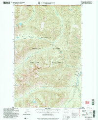
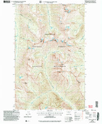
2002 Map of Frosty Creek
USGS Topo · Published 2006About this map
The Okanogan National Forest is defined here by the sharp topographic divide of Holdover Ridge and the high mountain terrain of the Pasayten Wilderness. Situated along the Canada United States border, this 2002 revision shows a remote backcountry landscape managed for conservation and recreation. Notable human footprints in this wilderness include the Pasayten Guard Sta and its adjacent Pasayten Airstrip along the Pasayten River, serving as critical access points for forest management. The presence of the Boundary Trail and secluded structures like the Chuchuwanteen Cabin and Three Forks Cabin indicate a network of historical and modern ranger and traveler routes. High-elevation features like Soda Peak and Lake of the Pines overlook a drainage system where Chuchuwanteen Creek and Frosty Creek carve through the Okanogan highlands.
Find a feature on this map
34 named features on this map. Tap any name to fly to it.
Don’t see what you’re looking for? This feature index may not catch every label — zoom into the map to look around manually.
Map Details
Editions of this 2002 Frosty Creek Map
This is the sole edition of this map. No revisions or reprints were ever made.
Other maps of this area

1920 · Slate Pass
USGS Topo · 1:125,000

1955 · Concrete
USGS Topo · 1:250,000

1958 · Concrete
USGS Topo · 1:250,000

1962 · Concrete
USGS Topo · 1:250,000

1969 · Frosty Creek
USGS Topo · 1:24,000
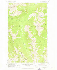
1969 · Pasayten Peak
USGS Topo · 1:24,000

1969 · Tatoosh Buttes
USGS Topo · 1:24,000
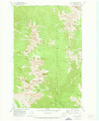
1969 · Shull Mtn.
USGS Topo · 1:24,000
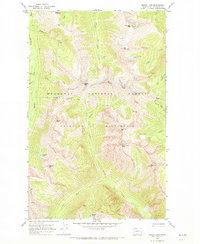
1969 · Mount Lago
USGS Topo · 1:24,000
2002 · Mount Lago
USGS Topo · 1:24,000