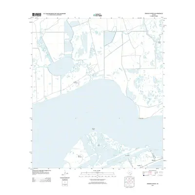
2013 Map of Frozen Point
USGS Topo · Published 2013About this map
East Bay dominates this coastal landscape, separating the mainland marshes from the thin ribbon of the Bolivar Peninsula. The map details a complex hydrological network where the Gulf of Mexico meets inland waters through Rollover Pass, a critical maritime feature between Rollover and Caplen. The presence of the East Robinson Lake Gas Field near Robinson Lake indicates the region's intersection of natural habitat and industrial resource extraction. To the north, the terrain dissolves into a labyrinth of wetlands and inlets including Open Lakes and Oyster Bayou. On the southern edge, narrow barrier landforms like Goat Island and Marsh Point protect the inner coves of Rollover Bay. This survey documents a fragile coastal ecosystem where small settlements and energy infrastructure sit just above sea level.
Find a feature on this map
24 named features on this map. Tap any name to fly to it.
Don’t see what you’re looking for? This feature index may not catch every label — zoom into the map to look around manually.
Map Details
Editions of this 2013 Frozen Point Map
This is the sole edition of this map. No revisions or reprints were ever made.
Other maps of this area

1931 · Flake
USGS Topo · 1:24,000

1931 · High Island
USGS Topo · 1:24,000

1931 · Frozen Point
USGS Topo · 1:24,000

1933 · Frozen Point
USGS Topo · 1:31,680

1933 · Caplen
USGS Topo · 1:31,680

1933 · Whites Lake
USGS Topo · 1:31,680

1933 · Flake
USGS Topo · 1:31,680

1943 · High Island
USGS Topo · 1:31,680
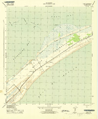
1943 · Flake
USGS Topo · 1:25,000

1943 · Frozen Point
USGS Topo · 1:24,000