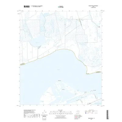
2019 Map of Frozen Point
USGS Topo · Published 2019About this map
East Bay and the marshlands of the Upper Texas Coast dominate this coastal survey at the boundary of Chambers and Galveston counties. The landscape is a complex network of wetlands and tidal waters, including Robinson Lake, Gordy Marsh, and Willow Marsh. The Intracoastal Waterway serves as a critical maritime corridor, cutting through the southern portion of the map near the settlement of Capen and the adjacent Rollover Bay.
Find a feature on this map
25 named features on this map. Tap any name to fly to it.
Don’t see what you’re looking for? This feature index may not catch every label — zoom into the map to look around manually.
Map Details
Editions of this 2019 Frozen Point Map
This is the sole edition of this map. No revisions or reprints were ever made.
Other maps of this area
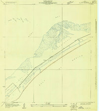
1931 · Flake
USGS Topo · 1:24,000
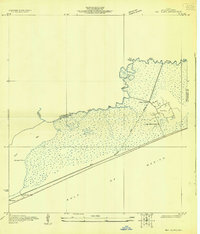
1931 · High Island
USGS Topo · 1:24,000
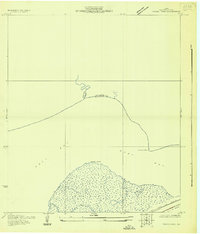
1931 · Frozen Point
USGS Topo · 1:24,000
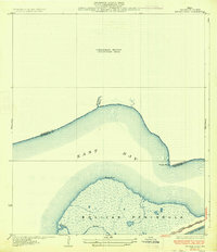
1933 · Frozen Point
USGS Topo · 1:31,680
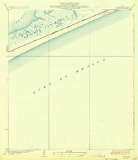
1933 · Caplen
USGS Topo · 1:31,680
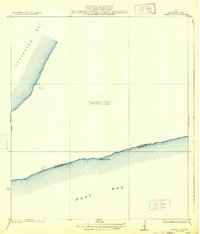
1933 · Whites Lake
USGS Topo · 1:31,680
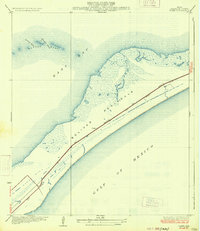
1933 · Flake
USGS Topo · 1:31,680
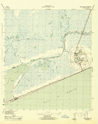
1943 · High Island
USGS Topo · 1:31,680
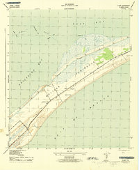
1943 · Flake
USGS Topo · 1:25,000
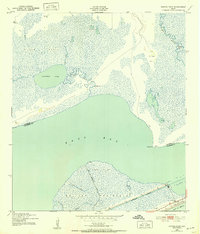
1943 · Frozen Point
USGS Topo · 1:24,000