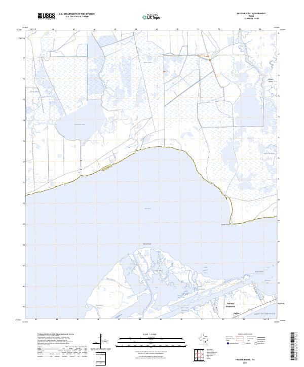
2025 Map of Frozen Point
USGS Topo · Published 2025About this map
East Bay dominates the central landscape of this coastal survey, where the marshlands of Chambers and Galveston counties meet the upper Texas shore. The geography is defined by a complex network of wetlands and tidal inlets, including Gordy Marsh, Willow Marsh, and the large expanse of Robinson Lake. Along the northern reaches, Oyster Bayou and Cane Bayou drain into the bay, reflecting a landscape that remains primarily defined by its hydrological patterns rather than dense development.
Find a feature on this map
27 named features on this map. Tap any name to fly to it.
Don’t see what you’re looking for? This feature index may not catch every label — zoom into the map to look around manually.
Map Details
Editions of this 2025 Frozen Point Map
This is the sole edition of this map. No revisions or reprints were ever made.
Other maps of this area

1931 · Flake
USGS Topo · 1:24,000

1931 · High Island
USGS Topo · 1:24,000

1931 · Frozen Point
USGS Topo · 1:24,000

1933 · Frozen Point
USGS Topo · 1:31,680

1933 · Caplen
USGS Topo · 1:31,680

1933 · Whites Lake
USGS Topo · 1:31,680

1933 · Flake
USGS Topo · 1:31,680

1943 · High Island
USGS Topo · 1:31,680
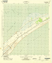
1943 · Flake
USGS Topo · 1:25,000

1943 · Frozen Point
USGS Topo · 1:24,000