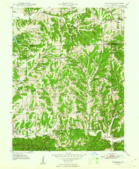
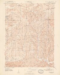
1948 Map of Fruitdale
USGS Topo · Published 1948About this map
Hensley and Hamblen townships dominate this mid-century landscape where small rural settlements and family landmarks are etched into a dense network of ridges and hollows. The area around Fruitdale and Spearsville reflects a community organized around country churches and local education, seen in sites like Spearsville Sch and Bethlehem Ch. The terrain is characterized by winding drainages including the North Fork Bean Blossom Creek and Salt Creek, which carve out significant hollows such as Wolfpen Hollow and Pence Hollow. This 1940s topography shows the transition from isolated forest lands to early recreational development at Lamb Lake, while preserving older genealogical sites like Calvin Cem and Duncan Cem along the Johnson Co Brown Co border.
Find a feature on this map
48 named features on this map. Tap any name to fly to it.
Don’t see what you’re looking for? This feature index may not catch every label — zoom into the map to look around manually.
Map Details
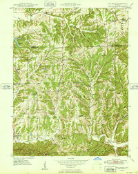
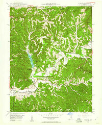
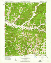
Editions of this 1948 Fruitdale Map
3 editions found
Other maps of this area

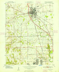
1942 · Franklin
USGS Topo · 1:125,000
1946 · Belmont
USGS Topo · 1:24,000
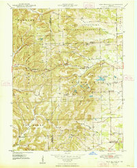
1947 · Nashville
USGS Topo · 1:24,000

1947 · Franklin
USGS Topo · 1:62,500
1948 · Franklin
USGS Topo · 1:24,000
1948 · New Bellsville
USGS Topo · 1:24,000
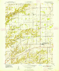
1948 · Trafalgar
USGS Topo · 1:24,000
1948 · Nineveh
USGS Topo · 1:24,000
1948 · Fruitdale
USGS Topo · 1:24,000
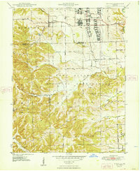
1948 · Morgantown
USGS Topo · 1:24,000