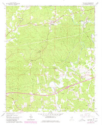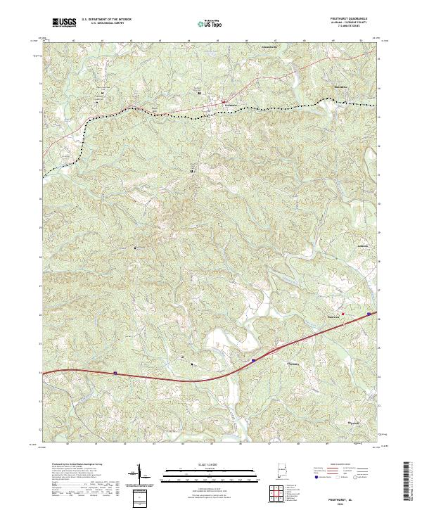
2024 Map of Fruithurst
USGS Topo · Published 2024About this map
Fruithurst and the neighboring community of Edwardsville sit along a corridor defined by the historic Old Georgia Rd and modern thoroughfares in this portion of Cleburne County. The landscape is deeply carved by the Tallapoosa River and its many tributaries, including Cane Creek and Owen Creek. This modern survey provides a detailed view of the rural settlement patterns, where small hamlets like Muscadine, Abernathy, and Ai are anchored by local landmarks such as the Ai Cem and Mount Olive Cem.
Find a feature on this map
33 named features on this map. Tap any name to fly to it.
Don’t see what you’re looking for? This feature index may not catch every label — zoom into the map to look around manually.
Map Details
Editions of this 2024 Fruithurst Map
This is the sole edition of this map. No revisions or reprints were ever made.
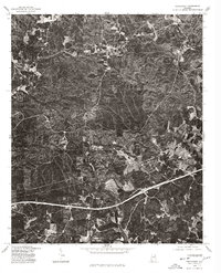
Historical Maps of Muscadine Through Time
3 maps found