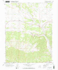
1962 Map of Fruitland
USGS Topo · Published 1970About this map
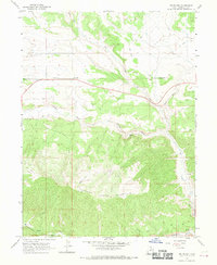
Fruitland sits as the central point of settlement on this high-altitude landscape in Duchesne County, surveyed in 1962. The terrain is dominated by the massive rise of Currant Creek Mountain to the south, while the northern sections are etched by the drainages of Red Creek and Grass Hollow. Local history is found in small, specific details like a lone Grave in the northeast and a Cem near the town center, suggesting the isolated nature of the early community. The economy and infrastructure are represented by a network of Jeep Trails and a Telephone line crossing the plateau. Water remains the primary shaper of the land, with the Strawberry River flowing along the southern border and Currant Creek winding through the central valleys towards a southern Spring. A noted Prospect in the southeast indicates small-scale exploration for resources in this high mountain environment.
Find a feature on this map
12 named features on this map. Tap any name to fly to it.
Don’t see what you’re looking for? This feature index may not catch every label — zoom into the map to look around manually.
Map Details
Editions of this 1962 Fruitland Map
3 editions found
Other maps of this area

1885 · Uinta
USGS Topo · 1:250,000

1954 · Salt Lake City
USGS Topo · 1:250,000

1958 · Salt Lake City
USGS Topo · 1:250,000

1960 · Salt Lake City
USGS Topo · 1:250,000

1962 · Deep Creek Canyon
USGS Topo · 1:24,000

1962 · Strawberry Pinnacles
USGS Topo · 1:24,000
1962 · Sams Canyon
USGS Topo · 1:24,000

1962 · Fruitland
USGS Topo · 1:24,000

1962 · Tabiona
USGS Topo · 1:24,000

1962 · Raspberry Knoll
USGS Topo · 1:24,000