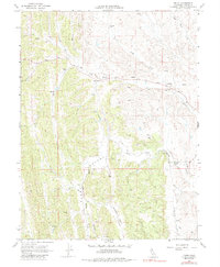
1968 Map of Fruto
USGS Topo · Published 1975About this map
Fruto serves as the primary focal point of this rural Glenn County survey, situated where Nye Creek emerges from the surrounding hills. The landscape is defined by its drainages and valleys, including the broad Clark Valley and the smaller Hubbard Valley. Water management is a critical component of the local infrastructure, evidenced by numerous instances of Spring labels, a Gaging Station on Willow Creek, and several scattered Water Tank installations supporting the ranching operations.
Find a feature on this map
21 named features on this map. Tap any name to fly to it.
Don’t see what you’re looking for? This feature index may not catch every label — zoom into the map to look around manually.
Map Details
Editions of this 1968 Fruto Map
3 editions found
Other maps of this area

1904 · Walker Creek
USGS Topo · 1:31,680

1904 · Logan Creek
USGS Topo · 1:24,000

1917 · Kurand
USGS Topo · 1:31,680

1918 · Logan Creek
USGS Topo · 1:31,680

1919 · Fruto
USGS Topo · 1:62,500

1919 · Elk Creek
USGS Topo · 1:62,500

1943 · Lodoga
USGS Topo · 1:62,500

1944 · Fruto
USGS Topo · 1:62,500

1948 · Elk Creek
USGS Topo · 1:62,500

1951 · Stonyford
USGS Topo · 1:62,500