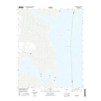
2016 Map of Frying Pan
USGS Topo · Published 2016About this map
The settlement of Frying Pan and its eponymous water body, The Frying Pan, characterize this coastal landscape on the edge of Tyrrell County. This 2016 survey documents a complex network of wetlands and tidal waters where Goose Cr enters the sound and the Intracoastal Waterway cuts through the eastern reaches of the quadrangle. The geography is defined by numerous points and small islands, including Crane Island and its nearby Crane Island Point, which separate Babbitt Bay from The Straits. Access to this remote maritime environment is centered around the singular corridor of Frying Pan Rd, while the eastern boundary is marked by the line between Tyrrell Co and Dare Co as it extends toward the Atlantic Ocean.
Find a feature on this map
15 named features on this map. Tap any name to fly to it.
Don’t see what you’re looking for? This feature index may not catch every label — zoom into the map to look around manually.
Map Details
Editions of this 2016 Frying Pan Map
This is the sole edition of this map. No revisions or reprints were ever made.
Other maps of this area

1943 · Columbia
USGS Topo · 1:125,000

1943 · Roanoke Island
USGS Topo · 1:125,000

1953 · Engelhard NW
USGS Topo · 1:24,000

1953 · Buffalo City
USGS Topo · 1:24,000

1953 · Fairfield NE
USGS Topo · 1:24,000

1953 · Columbia East
USGS Topo · 1:24,000

1953 · Scotia
USGS Topo · 1:24,000
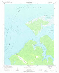
1953 · East Lake
USGS Topo · 1:24,000

1953 · Frying Pan
USGS Topo · 1:24,000

1953 · Fairfield NW
USGS Topo · 1:24,000