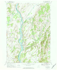
1967 Map of Ft Miller
USGS Topo · Published 1984About this map
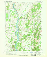
The Hudson River serves as the central artery for this mid-century survey, dividing the landscape between Saratoga and Washington counties. This waterway was critical to the regional economy, mirrored by the parallel path of the Champlain Canal and the functional engineering of Lock No 6. Settlements like Fort Miller and Northumberland anchor the riverbanks, while smaller communities such as Durkeetown and Jewell Corner are situated among a dense network of country roads including Stone Bridge Road and Black House Road.
Find a feature on this map
52 named features on this map. Tap any name to fly to it.
Don’t see what you’re looking for? This feature index may not catch every label — zoom into the map to look around manually.
Map Details
Editions of this 1967 Ft Miller Map
2 editions found
Other maps of this area

1893 · Fort Ann
USGS Topo · 1:62,500

1895 · Cambridge
USGS Topo · 1:62,500

1895 · Fort Ann
USGS Topo · 1:62,500

1895 · Glens Falls
USGS Topo · 1:62,500

1897 · Glens Falls
USGS Topo · 1:62,500

1898 · Cambridge
USGS Topo · 1:62,500

1898 · Fort Ann
USGS Topo · 1:62,500

1900 · Schuylerville
USGS Topo · 1:62,500

1901 · Fort Ann
USGS Topo · 1:62,500

1901 · Cambridge
USGS Topo · 1:62,500