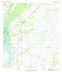
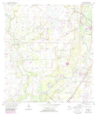
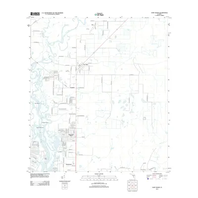
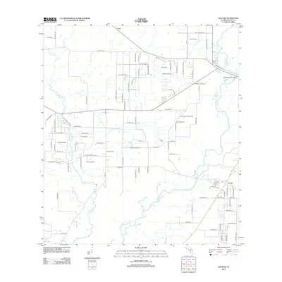
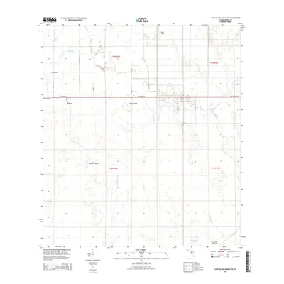
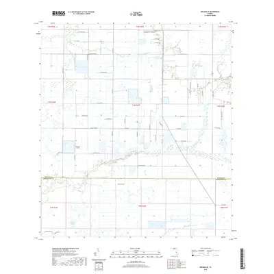
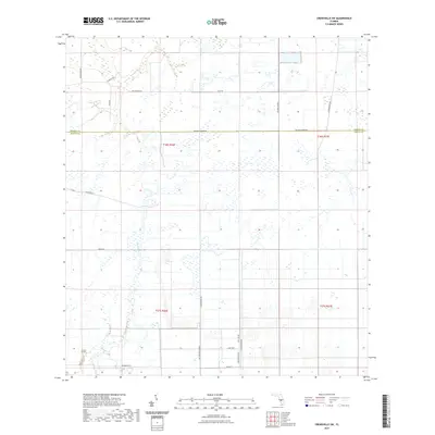
1956 Map of Ft. Ogden
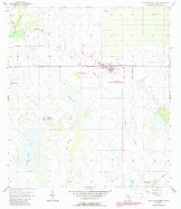
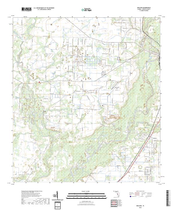
USGS Topo · Published 1969About this map
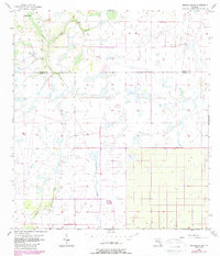
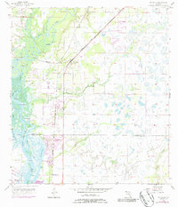
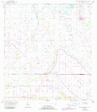
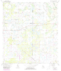
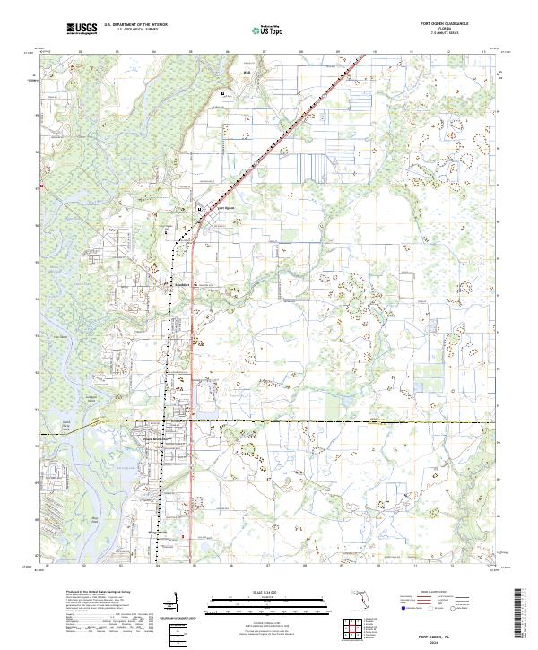
The Peace River dominates this southwestern Florida landscape, winding through a complex network of wetlands and islands just north of the De Soto Co Charlotte Co line. The settlement of Ft Ogden serves as the primary hub, situated at the junction of the Atlantic Coast Line and the Seaboard Air Line railroads. This rail-dependent corridor is punctuated by smaller localities such as Hull to the north and Southfort to the south.
Find a feature on this map
32 named features on this map. Tap any name to fly to it.
Don’t see what you’re looking for? This feature index may not catch every label — zoom into the map to look around manually.
Map Details
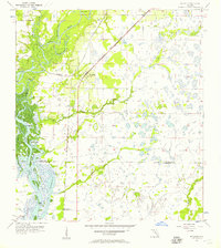
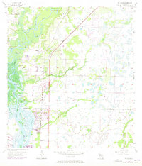
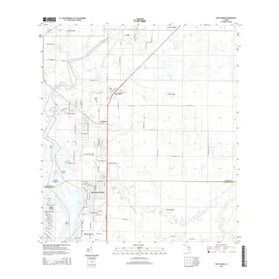
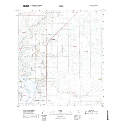
Editions of this 1956 Ft. Ogden Map
4 editions found
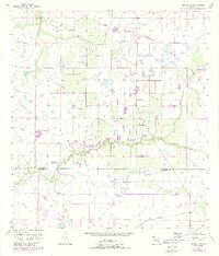
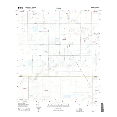
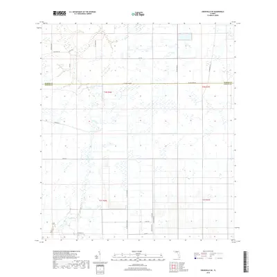
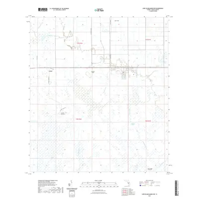
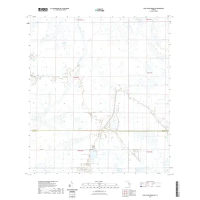
Historical Maps of Southfort Through Time
42 maps found
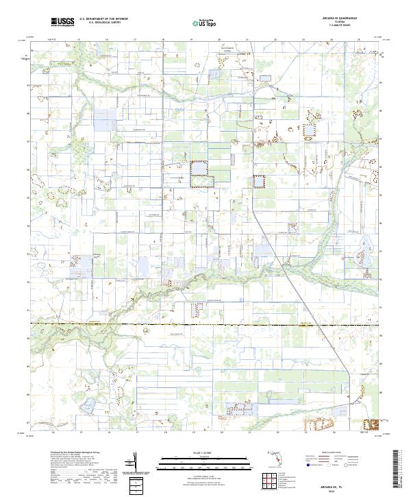
1956 Arcadia SE
DeSoto County, FL
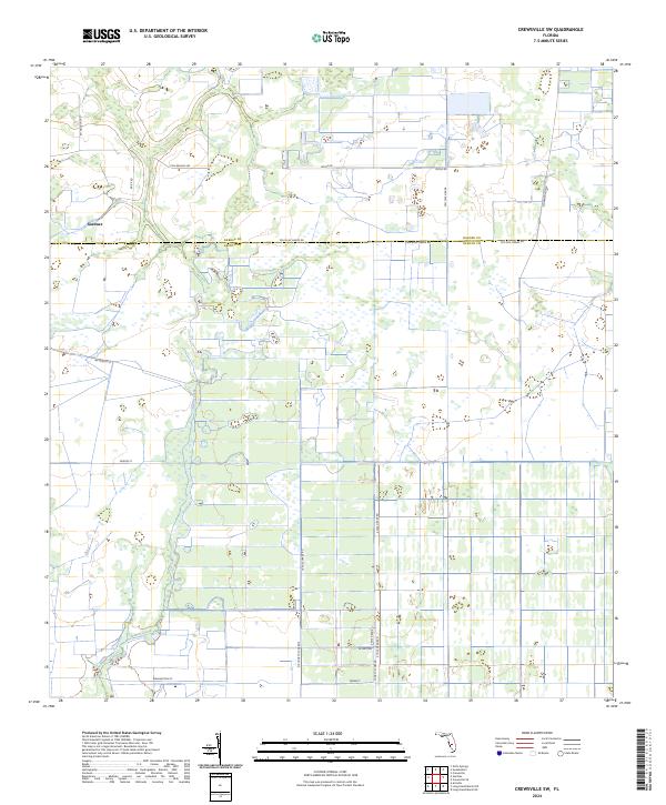
1956 Crewsville SW
DeSoto County, FL
1956 Ft. Ogden
DeSoto County, FL
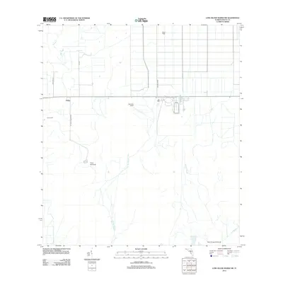
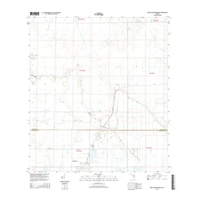
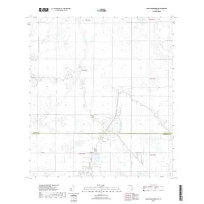
1956 Long Island Marsh SW
DeSoto County, FL
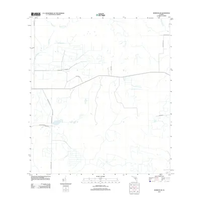
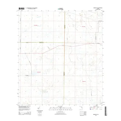
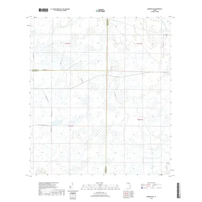
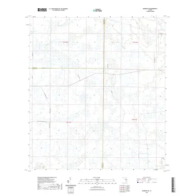
1956 Murdock NE
DeSoto County, FL
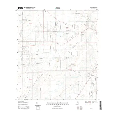
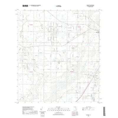
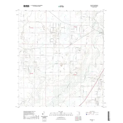
1956 Nocatee
DeSoto County, FL
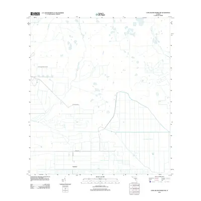
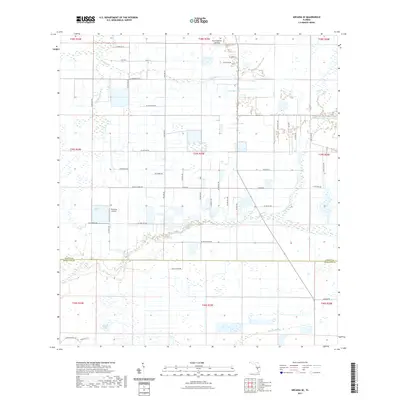
1957 Long Island Marsh NW
DeSoto County, FL
2012 Arcadia SE
DeSoto County, FL
2012 Crewsville SW
DeSoto County, FL
2012 Fort Ogden
DeSoto County, FL
2012 Long Island Marsh NW
DeSoto County, FL
2012 Long Island Marsh SW
DeSoto County, FL
2012 Murdock NE
DeSoto County, FL
2012 Nocatee
DeSoto County, FL
2015 Arcadia SE
DeSoto County, FL
2015 Crewsville SW
DeSoto County, FL
2015 Fort Ogden
DeSoto County, FL
2015 Long Island Marsh NW
DeSoto County, FL
2015 Long Island Marsh SW
DeSoto County, FL
2015 Murdock NE
DeSoto County, FL
2015 Nocatee
DeSoto County, FL
2018 Arcadia SE
DeSoto County, FL
2018 Crewsville SW
DeSoto County, FL
2018 Fort Ogden
DeSoto County, FL
2018 Long Island Marsh NW
DeSoto County, FL
2018 Long Island Marsh SW
DeSoto County, FL
2018 Murdock NE
DeSoto County, FL
2018 Nocatee
DeSoto County, FL
2021 Arcadia SE
DeSoto County, FL
2021 Crewsville SW
DeSoto County, FL
2021 Fort Ogden
DeSoto County, FL
2021 Long Island Marsh NW
DeSoto County, FL
2021 Long Island Marsh SW
DeSoto County, FL
2021 Murdock NE
DeSoto County, FL
2021 Nocatee
DeSoto County, FL
2024 Arcadia SE
DeSoto County, FL
2024 Crewsville SW
DeSoto County, FL
2024 Fort Ogden
DeSoto County, FL
2024 Long Island Marsh NW
DeSoto County, FL
2024 Long Island Marsh SW
DeSoto County, FL
2024 Murdock NE
DeSoto County, FL
2024 Nocatee
DeSoto County, FL