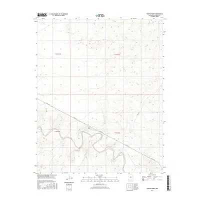
2017 Map of Fuentes Ranch
USGS Topo · Published 2017About this map
Fuentes Ranch serves as a primary point of reference in this landscape of the High Plains, where the terrain is marked by the winding depressions of the local drainage system. The area is defined by a series of low-traffic rural routes including Co Rd N-3-S, Rosebud Rd, and Ute Camp Rd, which navigate the elevation changes between the flat mesas and the draws below. This 2017 survey illustrates the continued importance of ranching outposts and the Public Land Survey System divisions, specifically within the boundaries of t16n r31e, t16n r32e, t15n r31e, and t15n r32e. The sparse infrastructure and isolated road network reflect a pattern of land use that has remained focused on large-scale agricultural operations and grazing into the modern era.
Find a feature on this map
8 named features on this map. Tap any name to fly to it.
Don’t see what you’re looking for? This feature index may not catch every label — zoom into the map to look around manually.
Map Details
Editions of this 2017 Fuentes Ranch Map
This is the sole edition of this map. No revisions or reprints were ever made.
Other maps of this area

1930 · Tucumcari
USGS Topo · 1:125,000

1954 · Tucumcari
USGS Topo · 1:250,000

1958 · Tucumcari
USGS Topo · 1:250,000

1962 · Logan
USGS Topo · 1:62,500

1966 · Mc Carty Ranch
USGS Topo · 1:24,000

1966 · Mc Cloy Ranch
USGS Topo · 1:24,000

1968 · Hampton Ranch
USGS Topo · 1:24,000

1968 · Montesito Creek
USGS Topo · 1:24,000

1969 · Gallegos
USGS Topo · 1:24,000

1969 · Gallegos NE
USGS Topo · 1:24,000