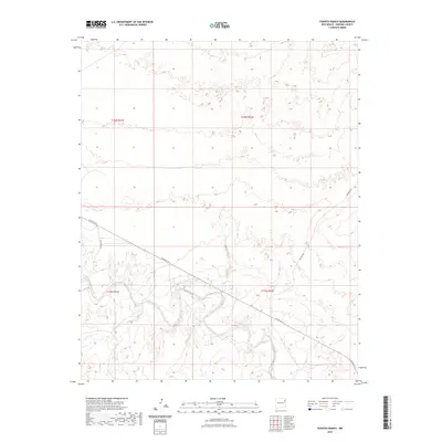
2023 Map of Fuentes Ranch
USGS Topo · Published 2023About this map
Arid mesa terrain and winding canyon floors characterize this portion of Harding County, where the landscape is defined more by its natural topography than by dense settlement. The sheet is bisected by Co Rd N-3-s, a primary thoroughfare that cuts across the southern half of the quadrangle. Other primitive tracks such as Ute Camp Rd and Rosebud Rd provide access to the remote ranchlands, navigating between the high plateaus and the drainage systems below. The Public Land Survey System grid, including boundaries for t16n r31e and t15n r32e, remains the dominant structural element of the map, illustrating how this vast New Mexico territory was partitioned into townships and ranges for ranching and resource management.
Find a feature on this map
7 named features on this map. Tap any name to fly to it.
Don’t see what you’re looking for? This feature index may not catch every label — zoom into the map to look around manually.
Map Details
Editions of this 2023 Fuentes Ranch Map
This is the sole edition of this map. No revisions or reprints were ever made.
Other maps of this area

1930 · Tucumcari
USGS Topo · 1:125,000

1954 · Tucumcari
USGS Topo · 1:250,000

1958 · Tucumcari
USGS Topo · 1:250,000

1962 · Logan
USGS Topo · 1:62,500

1966 · Mc Carty Ranch
USGS Topo · 1:24,000

1966 · Mc Cloy Ranch
USGS Topo · 1:24,000

1968 · Hampton Ranch
USGS Topo · 1:24,000

1968 · Montesito Creek
USGS Topo · 1:24,000

1969 · Gallegos
USGS Topo · 1:24,000

1969 · Gallegos NE
USGS Topo · 1:24,000