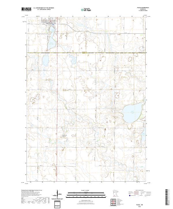
2022 Map of Fulda
USGS Topo · Published 2022About this map
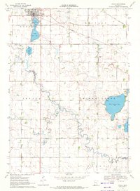
Fulda sits at the northern edge of this landscape, its residential streets like NW 2nd St and N Columbia Ave oriented toward the shores of Fulda Second Lake and Fulda First Lake. This prairie region, part of the higher elevation Coteau des Prairies, is defined by a systematic grid of section roads and water management features such as Judicial Ditch Number Twenty six. To the southeast, the terrain softens around the waters of West Graham Lake and East Graham Lake, which straddle the border between Murray and Nobles counties. The map captures a largely agricultural landscape where small drainage ways like Jack Cr wind through the open fields between established section lines like 100th St and 140th St.
Find a feature on this map
38 named features on this map. Tap any name to fly to it.
Don’t see what you’re looking for? This feature index may not catch every label — zoom into the map to look around manually.
Map Details
Editions of this 2022 Fulda Map
This is the sole edition of this map. No revisions or reprints were ever made.
Historical Maps of Fulda Through Time
6 maps found