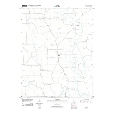
2010 Map of Fulda
USGS Topo · Published 2010About this map
The Anderson River and its intricate tributaries, such as the Middle Fork Anderson River and Brushy Fork, carve through this southern Indiana landscape near the start of the 21st century. The map reveals a deeply rooted rural community defined by a network of small settlements including Fulda, Huffman, and New Boston. A striking number of family-named burial grounds, such as Huffman Cemetery, Butler Cemetery, and Purcell Cemetery, are distributed across the countryside, reflecting the generations of families who settled this area of Spencer and Perry counties. To the west, Crooked Creek and its middle fork drain the territory near Schley and Evanston. The infrastructure consists of a dense grid of county roads, with named routes like N Huffman Mill Rd and Avery Ridge Rd providing access to isolated farmsteads and agricultural tracts that have characterized this region for decades.
Find a feature on this map
71 named features on this map. Tap any name to fly to it.
Don’t see what you’re looking for? This feature index may not catch every label — zoom into the map to look around manually.
Map Details
Editions of this 2010 Fulda Map
This is the sole edition of this map. No revisions or reprints were ever made.
Other maps of this area

1900 · St Meinrad
USGS Topo · 1:62,500

1903 · St. Meinrad
USGS Topo · 1:62,500

1903 · Tell City
USGS Topo · 1:62,500

1934 · Cannelton
USGS Topo · 1:62,500

1949 · Cannelton
USGS Topo · 1:24,000

1953 · Cannelton
USGS Topo · 1:24,000

1953 · Lewisport
USGS Topo · 1:24,000

1953 · Tell City
USGS Topo · 1:24,000

1954 · Evansville
USGS Topo · 1:250,000

1956 · Vincennes
USGS Topo · 1:250,000