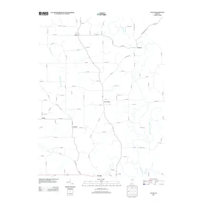
2013 Map of Fulda
USGS Topo · Published 2013About this map
Fulda and its surrounding rural landscapes are captured here in a period of modern stability, showing a network of small settlements connected by a grid of county roads. The drainage systems of the Anderson River and Middle Fork Anderson River create a winding physical geography that dictates the placement of crossroads and homesteads. Local history is etched into the landscape through place names like Huffman, New Boston, and Evanston, reflecting the early 19th-century German and immigrant heritage of this pocket of southern Indiana. At the southern edge of the survey, the village of Maxville sits near the confluence of Brushy Fork and the main river channel. The road network, including historical routes like Huffman Mill Rd, highlights how the movement of people and goods has long relied on these specific valley corridors and waterway crossings.
Find a feature on this map
87 named features on this map. Tap any name to fly to it.
Don’t see what you’re looking for? This feature index may not catch every label — zoom into the map to look around manually.
Map Details
Editions of this 2013 Fulda Map
This is the sole edition of this map. No revisions or reprints were ever made.
Other maps of this area

1900 · St Meinrad
USGS Topo · 1:62,500

1903 · St. Meinrad
USGS Topo · 1:62,500

1903 · Tell City
USGS Topo · 1:62,500

1934 · Cannelton
USGS Topo · 1:62,500

1949 · Cannelton
USGS Topo · 1:24,000

1953 · Cannelton
USGS Topo · 1:24,000

1953 · Lewisport
USGS Topo · 1:24,000

1953 · Tell City
USGS Topo · 1:24,000

1954 · Evansville
USGS Topo · 1:250,000

1956 · Vincennes
USGS Topo · 1:250,000