
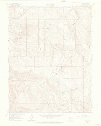
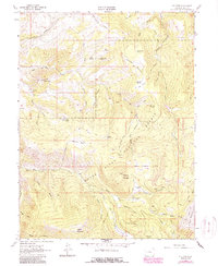
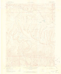
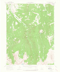
1962 Map of Fulford
USGS Topo · Published 1964About this map
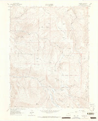
Fulford sits at the edge of the White River National Forest in this 1960s topographic survey, reflecting a landscape defined by high-altitude mining and rugged alpine geography. The settlement is surrounded by historical mining sites like the Lady Belle Mine, Polar Star Mine, and Johnson Mine, indicating the mineral extraction that drew people to these elevations. Notable landmarks such as Graveyard Flats and the local Cem provide specific points of interest for genealogists and local historians tracking the early residents of this Eagle County district.
Find a feature on this map
64 named features on this map. Tap any name to fly to it.
Don’t see what you’re looking for? This feature index may not catch every label — zoom into the map to look around manually.
Map Details
Editions of this 1962 Fulford Map
4 editions found
Other maps of this area

1909 · Mount Jackson
USGS Topo · 1:125,000

1911 · Mount Jackson
USGS Topo · 1:125,000

1957 · Leadville
USGS Topo · 1:250,000

1959 · Leadville
USGS Topo · 1:250,000

1960 · Leadville
USGS Topo · 1:250,000
1961 · Red Creek
USGS Topo · 1:24,000

1962 · Leadville
USGS Topo · 1:250,000
1962 · Grouse Mountain
USGS Topo · 1:24,000
1962 · Fulford
USGS Topo · 1:24,000
1962 · Wolcott
USGS Topo · 1:24,000