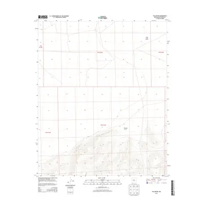
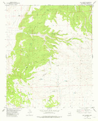
2013 Map of Fullerton
USGS Topo · Published 2013About this map
The Plains of San Agustin dominate the northern landscape of this Catron County region, transitioning abruptly into the dissected drainage of Fullerton Canyon to the south. This 2013 survey illustrates the stark geomorphology of the high basin floor and the beginning of the mountainous rise typical of west-central New Mexico. The map is primarily structured by the Public Land Survey System, showing the divisions of t5s r13w, t6s r13w, and their adjacent ranges. These grid lines highlight the vast, open character of the terrain, where early ranching and land use patterns were dictated by the level plains and the narrow, winding corridors of the canyon floor. The lack of named settlements emphasizes the quiet, rural nature of this high-altitude landscape during the early 21st century.
Find a feature on this map
7 named features on this map. Tap any name to fly to it.
Don’t see what you’re looking for? This feature index may not catch every label — zoom into the map to look around manually.
Map Details
Editions of this 2013 Fullerton Map
This is the sole edition of this map. No revisions or reprints were ever made.
Other maps of this area

1918 · Pelona
USGS Topo · 1:125,000

1954 · Clifton
USGS Topo · 1:250,000

1957 · Clifton
USGS Topo · 1:250,000

1958 · Clifton
USGS Topo · 1:250,000

1962 · Clifton
USGS Topo · 1:250,000

1981 · Fullerton
USGS Topo · 1:24,000
1981 · Bell Peak
USGS Topo · 1:24,000
1981 · Pelona Mountain
USGS Topo · 1:24,000
1981 · Horse Mountain West
USGS Topo · 1:24,000
1981 · Rail Canyon
USGS Topo · 1:24,000