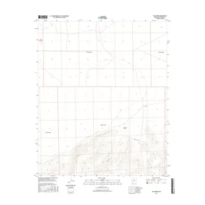
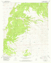
2017 Map of Fullerton
USGS Topo · Published 2017About this map
Fullerton sits in a high-elevation landscape of Catron County where the terrain transitions from open plateau into the dramatic relief of the Fullerton Canyon system. This 2017 survey by the U.S. Geological Survey details a sparsely populated area defined by its topography and land management divisions rather than dense settlement. The drainage patterns of the canyon dominate the southern half of the map, revealing the intricate watercourses that have carved through the local strata over millennia. For researchers, the map provides a precise look at the modern rural infrastructure and the vast stretches of land organized under the Public Land Survey System, including sections within t5s r13w and t6s r13w.
Find a feature on this map
8 named features on this map. Tap any name to fly to it.
Don’t see what you’re looking for? This feature index may not catch every label — zoom into the map to look around manually.
Map Details
Editions of this 2017 Fullerton Map
This is the sole edition of this map. No revisions or reprints were ever made.
Other maps of this area

1918 · Pelona
USGS Topo · 1:125,000

1954 · Clifton
USGS Topo · 1:250,000

1957 · Clifton
USGS Topo · 1:250,000

1958 · Clifton
USGS Topo · 1:250,000

1962 · Clifton
USGS Topo · 1:250,000

1981 · Fullerton
USGS Topo · 1:24,000
1981 · Bell Peak
USGS Topo · 1:24,000
1981 · Pelona Mountain
USGS Topo · 1:24,000
1981 · Horse Mountain West
USGS Topo · 1:24,000
1981 · Rail Canyon
USGS Topo · 1:24,000