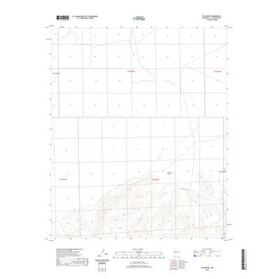
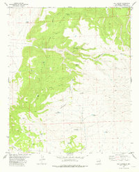
2020 Map of Fullerton
USGS Topo · Published 2020About this map
Fullerton Canyon serves as the defining geographical feature of this high-altitude landscape in Catron County, New Mexico. The terrain is marked by a significant shift in topography, transitioning from the relatively level northern plains into a deeply incised drainage system that trends southeastward. The Public Land Survey System grid, including boundaries for t6s r13w and t5s r13w, reveals the systematic division of this rural territory. Sparse road networks and the lack of established settlements underscore the undeveloped character of this portion of the Gila National Forest region, where the elevation contours illustrate a rugged descent into the canyon floor.
Find a feature on this map
8 named features on this map. Tap any name to fly to it.
Don’t see what you’re looking for? This feature index may not catch every label — zoom into the map to look around manually.
Map Details
Editions of this 2020 Fullerton Map
This is the sole edition of this map. No revisions or reprints were ever made.
Other maps of this area

1918 · Pelona
USGS Topo · 1:125,000

1954 · Clifton
USGS Topo · 1:250,000

1957 · Clifton
USGS Topo · 1:250,000

1958 · Clifton
USGS Topo · 1:250,000

1962 · Clifton
USGS Topo · 1:250,000

1981 · Fullerton
USGS Topo · 1:24,000
1981 · Bell Peak
USGS Topo · 1:24,000
1981 · Pelona Mountain
USGS Topo · 1:24,000
1981 · Horse Mountain West
USGS Topo · 1:24,000
1981 · Rail Canyon
USGS Topo · 1:24,000