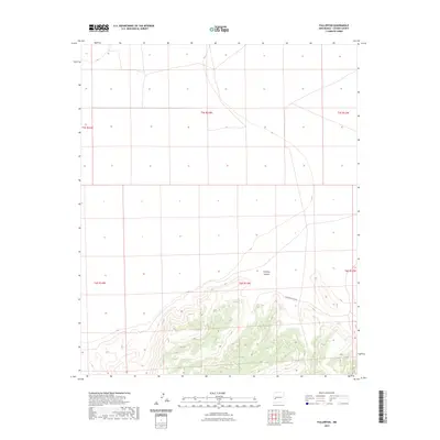
2023 Map of Fullerton
USGS Topo · Published 2023About this map
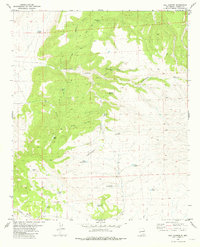
Fullerton Canyon carves through the southern half of this Catron County landscape, defining the primary drainage for the surrounding highlands. The map provides a detailed view of the Public Land Survey System (PLSS) grid, documenting the precise township and range boundaries including t5s r13w, t6s r13w, and their neighbors. These boundaries are essential for tracing land ownership and historical grazing allotments in the New Mexico backcountry. The terrain is marked by significant elevation changes, with contours illustrating the complex ridgelines and draws that feed into the central canyon system. While largely void of named settlements, the map focuses on the natural topography and the legal subdivisions of the land as they stood in the early 2020s, serving as a baseline for understanding contemporary land management in the region.
Find a feature on this map
8 named features on this map. Tap any name to fly to it.
Don’t see what you’re looking for? This feature index may not catch every label — zoom into the map to look around manually.
Map Details
Editions of this 2023 Fullerton Map
This is the sole edition of this map. No revisions or reprints were ever made.
Other maps of this area

1918 · Pelona
USGS Topo · 1:125,000

1954 · Clifton
USGS Topo · 1:250,000

1957 · Clifton
USGS Topo · 1:250,000

1958 · Clifton
USGS Topo · 1:250,000

1962 · Clifton
USGS Topo · 1:250,000

1981 · Fullerton
USGS Topo · 1:24,000
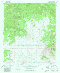
1981 · Bell Peak
USGS Topo · 1:24,000
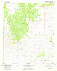
1981 · Pelona Mountain
USGS Topo · 1:24,000
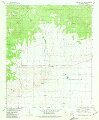
1981 · Horse Mountain West
USGS Topo · 1:24,000
1981 · Rail Canyon
USGS Topo · 1:24,000