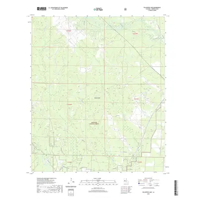
2020 Map of Fullerton Lake
USGS Topo · Published 2020About this map
Fullerton Lake and the surrounding pine-clad terrain of Vernon Parish define this 2020 landscape, where military and conservation interests intersect. Much of the northern and central sections are occupied by the Fort Polk military installation and the Kisatchie National Forest, creating a region largely devoid of modern residential development. This geography preserves an intricate network of waterways including Whiskey Chitto, Tenmile Creek, and Big Brushy Creek.
Find a feature on this map
33 named features on this map. Tap any name to fly to it.
Don’t see what you’re looking for? This feature index may not catch every label — zoom into the map to look around manually.
Map Details
Editions of this 2020 Fullerton Lake Map
This is the sole edition of this map. No revisions or reprints were ever made.
Other maps of this area

1941 · Slagle
USGS Topo · 1:62,500

1943 · Leander
USGS Topo · 1:62,500

1944 · Slagle
USGS Topo · 1:62,500

1947 · Steep Gully
USGS Topo · 1:31,680

1947 · Sugrue
USGS Topo · 1:31,680

1947 · Pitkin
USGS Topo · 1:31,680
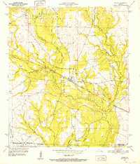
1951 · Pitkin
USGS Topo · 1:24,000

1951 · Steep Gully
USGS Topo · 1:24,000

1952 · Lake Charles
USGS Topo · 1:250,000

1953 · Alexandria
USGS Topo · 1:250,000