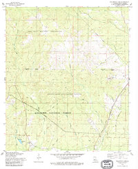
1978 Map of Fullerton Lake
USGS Topo · Published 1979About this map
The Fort Polk Military Reservation and the Leesville Artillery Range dominate this part of Kisatchie National Forest in Vernon Parish. The landscape is defined by its transition from military use to local rural landmarks, featuring numerous stream systems like East Fork Sixmile Creek and Big Brushy Creek. In the southern portion of the map, Fullerton Lake and its nearby Boat Ramp indicate a center for local recreation, situated just south of the Base Line.
Find a feature on this map
26 named features on this map. Tap any name to fly to it.
Don’t see what you’re looking for? This feature index may not catch every label — zoom into the map to look around manually.
Map Details
Editions of this 1978 Fullerton Lake Map
This is the sole edition of this map. No revisions or reprints were ever made.
Other maps of this area

1941 · Slagle
USGS Topo · 1:62,500

1943 · Leander
USGS Topo · 1:62,500

1944 · Slagle
USGS Topo · 1:62,500

1947 · Steep Gully
USGS Topo · 1:31,680

1947 · Sugrue
USGS Topo · 1:31,680

1947 · Pitkin
USGS Topo · 1:31,680
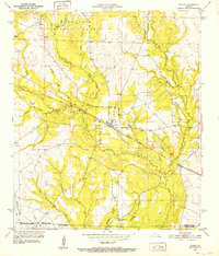
1951 · Pitkin
USGS Topo · 1:24,000

1951 · Steep Gully
USGS Topo · 1:24,000

1952 · Lake Charles
USGS Topo · 1:250,000

1953 · Alexandria
USGS Topo · 1:250,000