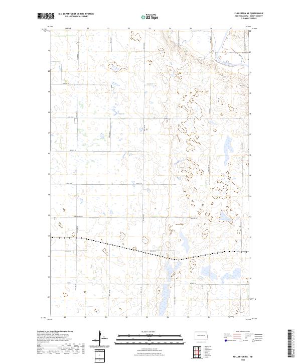
2024 Map of Fullerton NE
USGS Topo · Published 2024About this map
The James River winds through the northeast corner of this prairie landscape in Dickey County, marking a distinct change in elevation from the surrounding glaciated plains. This 2024 survey documents a region defined by extensive wetland conservation, dominated by the Dickey County Waterfowl Production Area, which spans multiple sections in the southern half of the quadrangle. The terrain is characterized by numerous prairie potholes and small water bodies that provide critical habitat within the Central Flyway.
Find a feature on this map
24 named features on this map. Tap any name to fly to it.
Don’t see what you’re looking for? This feature index may not catch every label — zoom into the map to look around manually.
Map Details
Editions of this 2024 Fullerton NE Map
This is the sole edition of this map. No revisions or reprints were ever made.
Other maps of this area

1894 · La Moure
USGS Topo · 1:62,500

1894 · Fullerton
USGS Topo · 1:62,500

1894 · Oakes
USGS Topo · 1:62,500

1895 · Lamoure
USGS Topo · 1:125,000

1918 · La Moure
USGS Topo · 1:125,000

1952 · Glover
USGS Topo · 1:24,000

1952 · Independence
USGS Topo · 1:24,000

1953 · Jamestown
USGS Topo · 1:250,000

1955 · Fullerton NE
USGS Topo · 1:24,000
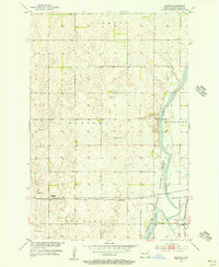
1955 · Guelph
USGS Topo · 1:24,000
Featured Places
- Clement Township, ND
- Yorktown Township, ND
- Wright Township, ND
- James River Valley Township, ND
- Dickey County, ND