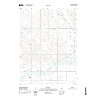
2017 Map of Fullerton NE
USGS Topo · Published 2017About this map
The Loup River and the engineered Loup River Canal dominate the southern landscape of this Nance County region, carving through the Platte River valley's complex hydrology. This 2017 survey reveals a highly organized agricultural grid defined by numerous numerical avenues and streets, contrasting with the meandering paths of Beaver Creek and Skeedee Cr to the north. The small settlement of Krakow sits near the southeastern corner, serving as a focal point for local history in an area otherwise characterized by section lines and wide-open drainage basins.
Find a feature on this map
39 named features on this map. Tap any name to fly to it.
Don’t see what you’re looking for? This feature index may not catch every label — zoom into the map to look around manually.
Map Details
Editions of this 2017 Fullerton NE Map
This is the sole edition of this map. No revisions or reprints were ever made.
Other maps of this area

1896 · Stromsburg
USGS Topo · 1:125,000

1955 · Fremont
USGS Topo · 1:250,000

1957 · Fremont
USGS Topo · 1:250,000

1958 · Fremont
USGS Topo · 1:250,000

1958 · Genoa
USGS Topo · 1:24,000
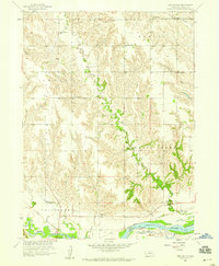
1958 · Merchiston
USGS Topo · 1:24,000

1958 · Fullerton
USGS Topo · 1:24,000

1958 · Fullerton NE
USGS Topo · 1:24,000

1958 · Silver Creek
USGS Topo · 1:24,000

1958 · Havens
USGS Topo · 1:24,000