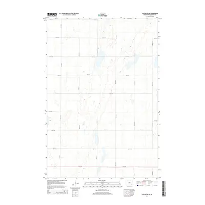
2014 Map of Fullerton SE
USGS Topo · Published 2014About this map
Dickey County agriculture and the prairie landscape of North Dakota are defined by a strict grid of section roads in this mid-2010s survey. The landscape is characterized by numerous small, unnamed prairie potholes and depressions scattered across the plains of Clement Township. Heavy local infrastructure is represented by a network of rural thoroughfares, including 89th St SE and 97th St SE, which facilitate the movement of equipment and grain between isolated farmsteads and regional elevators.
Find a feature on this map
16 named features on this map. Tap any name to fly to it.
Don’t see what you’re looking for? This feature index may not catch every label — zoom into the map to look around manually.
Map Details
Editions of this 2014 Fullerton SE Map
This is the sole edition of this map. No revisions or reprints were ever made.
Other maps of this area

1894 · Hecla
USGS Topo · 1:62,500

1894 · Savo
USGS Topo · 1:62,500

1894 · Fullerton
USGS Topo · 1:62,500

1894 · Oakes
USGS Topo · 1:62,500

1895 · Lamoure
USGS Topo · 1:125,000

1896 · Columbia
USGS Topo · 1:125,000

1918 · La Moure
USGS Topo · 1:125,000

1952 · Glover
USGS Topo · 1:24,000

1953 · Jamestown
USGS Topo · 1:250,000

1954 · Aberdeen
USGS Topo · 1:250,000