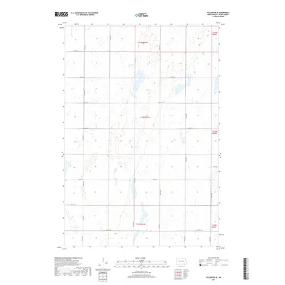
2017 Map of Fullerton SE
USGS Topo · Published 2017About this map
The prairie landscape of Clement Township is defined by a grid of agricultural section lines and seasonal wetlands. This 2017 survey shows a region largely preserved for farming and conservation, where ephemeral waters pocket the terrain between the north-south corridors of 99th Ave SE and 100th Ave SE. The lack of dense settlement or named towns highlights the open-country character of southeastern Dickey County, where transportation is dictated by the regular interval of local routes like 97th St SE. The Public Land Survey System remains the primary structural element here, with the intersections of Co Rd 10 and various gravel roads providing the only permanent landmarks across the low-lying plains.
Find a feature on this map
21 named features on this map. Tap any name to fly to it.
Don’t see what you’re looking for? This feature index may not catch every label — zoom into the map to look around manually.
Map Details
Editions of this 2017 Fullerton SE Map
This is the sole edition of this map. No revisions or reprints were ever made.
Other maps of this area

1894 · Hecla
USGS Topo · 1:62,500

1894 · Savo
USGS Topo · 1:62,500

1894 · Fullerton
USGS Topo · 1:62,500

1894 · Oakes
USGS Topo · 1:62,500

1895 · Lamoure
USGS Topo · 1:125,000

1896 · Columbia
USGS Topo · 1:125,000

1918 · La Moure
USGS Topo · 1:125,000

1952 · Glover
USGS Topo · 1:24,000

1953 · Jamestown
USGS Topo · 1:250,000

1954 · Aberdeen
USGS Topo · 1:250,000