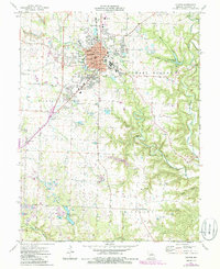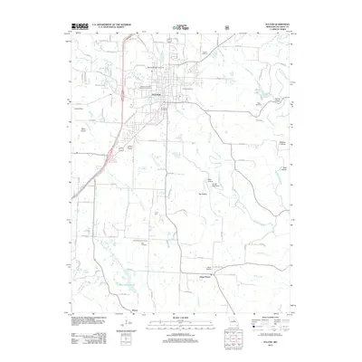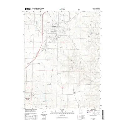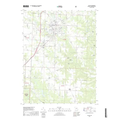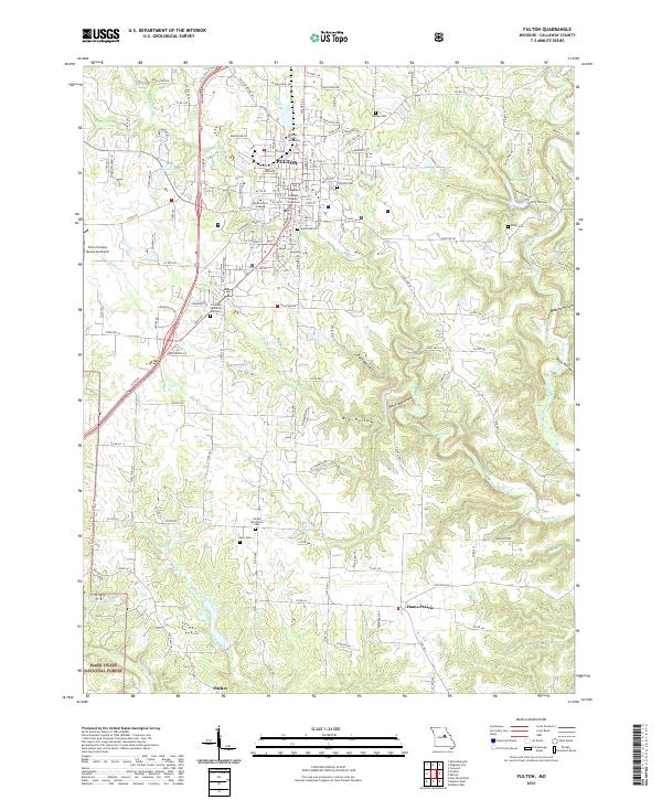
2000 Map of Fulton
USGS Topo · Published 2003About this map
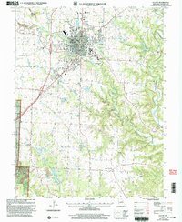
The university town of Fulton dominates this late-twentieth-century landscape, characterized by its significant educational and state institutions. The map details the expansive grounds of State Hospital No 1 and the central campus of Westminster College and William Woods College, alongside the School for the Deaf. To the south, the terrain transitions into the wooded ridges of the Mark Twain National Forest and the rugged topography of Devils Backbone, while the eastern portion is defined by the winding course of Stinson Creek and its various hollows.
Find a feature on this map
45 named features on this map. Tap any name to fly to it.
Don’t see what you’re looking for? This feature index may not catch every label — zoom into the map to look around manually.
Map Details
Editions of this 2000 Fulton Map
This is the sole edition of this map. No revisions or reprints were ever made.
Historical Maps of Fulton Through Time
9 maps found