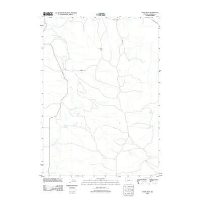
2012 Map of Funny Rock
USGS Topo · Published 2012About this map
Lance Creek and its complex network of tributaries define the high plains of Niobrara County, showing a landscape shaped by drainage and ranching access. The terrain is marked by the eponymous Funny Rock, a distinct landmark situated central to the sheet's northern half. This 2012 survey illustrates how water management and local infrastructure intersect in this arid region, most notably at the Williams Reservoir and the catchments at Peddy Draw 1 and Peddy Draw 2. The network of local roads, such as Wasserburger Rd, Ridge Rd, and Traphigan Rd, traces the movement of residents across the section lines of the Public Land Survey System, providing a clear view of land use and navigation in modern eastern Wyoming.
Find a feature on this map
10 named features on this map. Tap any name to fly to it.
Don’t see what you’re looking for? This feature index may not catch every label — zoom into the map to look around manually.
Map Details
Editions of this 2012 Funny Rock Map
This is the sole edition of this map. No revisions or reprints were ever made.
Other maps of this area

1955 · Newcastle
USGS Topo · 1:250,000

1958 · Newcastle
USGS Topo · 1:250,000

1981 · Telephone Draw
USGS Topo · 1:24,000
1981 · Rabbit Mountains
USGS Topo · 1:24,000

1981 · Dixon Ranch
USGS Topo · 1:24,000

1981 · Lance Creek NW
USGS Topo · 1:24,000
1981 · Boggy Reservoir
USGS Topo · 1:24,000
1981 · Funny Rock
USGS Topo · 1:24,000
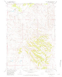
1981 · Buck Creek Hills
USGS Topo · 1:24,000
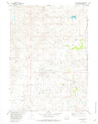
1981 · Lance Creek
USGS Topo · 1:24,000