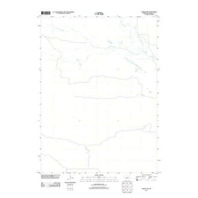
2011 Map of Gables NW
USGS Topo · Published 2011About this map
Big Cedar Creek and its tributaries carve a quiet, meandering path through this Nebraska Sandhills landscape. The map emphasizes the subtle hydrology of the region, where Little Cedar Creek joins the larger drainage system amidst a sparsely populated terrain. This 2011 survey focuses on the natural watercourses and the network of section lines and unpaved ranch roads that define the rural character of northern Garfield County. The drainage patterns shown here reflect the seasonal flow typical of the Great Plains, illustrating how Cedar Creek and its branches serve as the primary landmarks in an area dominated by open pasture and cattle ranching operations.
Find a feature on this map
3 named features on this map. Tap any name to fly to it.
Don’t see what you’re looking for? This feature index may not catch every label — zoom into the map to look around manually.
Map Details
Editions of this 2011 Gables NW Map
This is the sole edition of this map. No revisions or reprints were ever made.
Other maps of this area

1952 · Burwell SE
USGS Topo · 1:24,000

1952 · Burwell NE
USGS Topo · 1:24,000

1954 · Gables SE
USGS Topo · 1:24,000

1954 · Gables SW
USGS Topo · 1:24,000

1954 · Gables NW
USGS Topo · 1:24,000

1954 · Gables
USGS Topo · 1:24,000

1955 · Broken Bow
USGS Topo · 1:250,000

1955 · O'Neill
USGS Topo · 1:250,000

1956 · Broken Bow
USGS Topo · 1:250,000

1959 · O'Neill
USGS Topo · 1:250,000