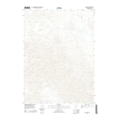
2014 Map of Gables NW
USGS Topo · Published 2014About this map
The undulating sandhills of Garfield County are defined by a network of drainage ways and isolated hills in this 2014 survey. The topography is dominated by the westward reach of Little Cedar Cr, which winds through the central and northern sections of the terrain before meeting Big Cedar Cr near the eastern boundary. These watercourses are the primary geographical markers in an otherwise sparse landscape primarily utilized for ranching. Human infrastructure is limited to a few arterial routes that skirt the edges of these hills, including Silver Rd along the southern border and Cedar River Rd in the northeast. The map provides a detailed view of the natural contours of the Nebraska Sandhills, illustrating the complex elevation changes that characterize this portion of the state.
Find a feature on this map
5 named features on this map. Tap any name to fly to it.
Don’t see what you’re looking for? This feature index may not catch every label — zoom into the map to look around manually.
Map Details
Editions of this 2014 Gables NW Map
This is the sole edition of this map. No revisions or reprints were ever made.
Other maps of this area

1952 · Burwell SE
USGS Topo · 1:24,000

1952 · Burwell NE
USGS Topo · 1:24,000

1954 · Gables SE
USGS Topo · 1:24,000

1954 · Gables SW
USGS Topo · 1:24,000

1954 · Gables NW
USGS Topo · 1:24,000

1954 · Gables
USGS Topo · 1:24,000

1955 · Broken Bow
USGS Topo · 1:250,000

1955 · O'Neill
USGS Topo · 1:250,000

1956 · Broken Bow
USGS Topo · 1:250,000

1959 · O'Neill
USGS Topo · 1:250,000