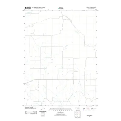
2011 Map of Gables SW
USGS Topo · Published 2011About this map
Dry Cedar Creek meanders through the northeast corner of this 2011 survey, illustrating the hydraulic character of the Garfield County ranchlands. The landscape is defined by a strictly surveyed section-line road network, where the natural drainage of Haskell Creek often dictates the placement of rural routes such as Haskell Creek Rd. This map reflects the modern continuity of Nebraska's agricultural interior, capturing a territory where the balance between cattle ranching and sparse water resources remains the primary influence on settlement patterns. The sparse distribution of named features underscores the remote, open-range nature of the region during the early 21st century.
Find a feature on this map
3 named features on this map. Tap any name to fly to it.
Don’t see what you’re looking for? This feature index may not catch every label — zoom into the map to look around manually.
Map Details
Editions of this 2011 Gables SW Map
This is the sole edition of this map. No revisions or reprints were ever made.
Other maps of this area

1952 · Elyria
USGS Topo · 1:24,000

1952 · Burwell SE
USGS Topo · 1:24,000

1952 · Burwell NE
USGS Topo · 1:24,000

1954 · Gables SE
USGS Topo · 1:24,000

1954 · Gables SW
USGS Topo · 1:24,000

1954 · Ord NE
USGS Topo · 1:24,000

1954 · Ord NW
USGS Topo · 1:24,000

1954 · Gables NW
USGS Topo · 1:24,000

1954 · Gables
USGS Topo · 1:24,000

1955 · Broken Bow
USGS Topo · 1:250,000