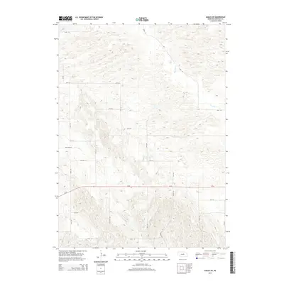
2014 Map of Gables SW
USGS Topo · Published 2014About this map
Dry Cedar Cr and Haskell Cr define the drainage patterns across this rural landscape in Garfield County. The terrain is marked by a distinctive grid of sectional roads, including family-named routes such as Bean Creek Rd and Haskell Ave. This 2014 survey captures the area's agricultural character, with primary transit provided by the east-west corridor of Ne-91. The map reveals a high density of small-scale topographic variations, showing the intricate rise and fall of the Nebraska Sandhills region. Land use is oriented around these natural drainage features and the established road network, which includes uniquely named paths like Ikey Rd and Silver Rd.
Find a feature on this map
20 named features on this map. Tap any name to fly to it.
Don’t see what you’re looking for? This feature index may not catch every label — zoom into the map to look around manually.
Map Details
Editions of this 2014 Gables SW Map
This is the sole edition of this map. No revisions or reprints were ever made.
Other maps of this area

1952 · Elyria
USGS Topo · 1:24,000

1952 · Burwell SE
USGS Topo · 1:24,000

1952 · Burwell NE
USGS Topo · 1:24,000

1954 · Gables SE
USGS Topo · 1:24,000

1954 · Gables SW
USGS Topo · 1:24,000

1954 · Ord NE
USGS Topo · 1:24,000

1954 · Ord NW
USGS Topo · 1:24,000

1954 · Gables NW
USGS Topo · 1:24,000

1954 · Gables
USGS Topo · 1:24,000

1955 · Broken Bow
USGS Topo · 1:250,000