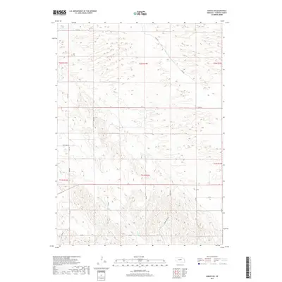
2017 Map of Gables SW
USGS Topo · Published 2017About this map
Dry Cedar Cr and Haskell Cr define the subtle drainage patterns of this Garfield County landscape, illustrating the hydrology of central Nebraska. This 2017 survey by the U.S. Geological Survey captures a sparsely settled region organized by a strict section-line road grid, characteristic of the High Plains' agricultural development. Named routes like Silver Rd and Bean Creek Rd provide the primary east-west access through the various townships, while the presence of Haskell Creek Rd and Haskell Ave highlights the localized naming conventions of the county's rural infrastructure. The map reveals the intricate contouring of the terrain, where small depressions and seasonal watercourses dictate the placement of ranch roads and property boundaries across the T21N and T22N ranges.
Find a feature on this map
23 named features on this map. Tap any name to fly to it.
Don’t see what you’re looking for? This feature index may not catch every label — zoom into the map to look around manually.
Map Details
Editions of this 2017 Gables SW Map
This is the sole edition of this map. No revisions or reprints were ever made.
Other maps of this area

1952 · Elyria
USGS Topo · 1:24,000

1952 · Burwell SE
USGS Topo · 1:24,000

1952 · Burwell NE
USGS Topo · 1:24,000

1954 · Gables SE
USGS Topo · 1:24,000

1954 · Gables SW
USGS Topo · 1:24,000

1954 · Ord NE
USGS Topo · 1:24,000

1954 · Ord NW
USGS Topo · 1:24,000

1954 · Gables NW
USGS Topo · 1:24,000

1954 · Gables
USGS Topo · 1:24,000

1955 · Broken Bow
USGS Topo · 1:250,000