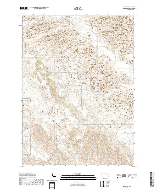
2021 Map of Gables SW
USGS Topo · Published 2021About this map
Haskell Cr and Dry Cedar Cr drain the sandy, rolling terrain of this portion of Garfield County. The landscape is defined by a grid of rural section roads and gravel paths, where Silver Rd and Haskell Creek Rd provide the primary transit through the sparsely populated ranchland. The topographical patterns show the characteristic undulations of the Nebraska Sandhills, with numerous small depressions and drainage basins interspersed among the sections. Local infrastructure is primarily dedicated to agricultural access, with routes such as Bean Creek Rd, 823 Rd, and 824 Rd marking the surveyed boundaries of the t21n r14w and t22n r14w townships. This 2021 survey illustrates the enduring rural character of the region, where the natural watercourses remain the most prominent landmarks in a territory otherwise organized by the Public Land Survey System.
Find a feature on this map
23 named features on this map. Tap any name to fly to it.
Don’t see what you’re looking for? This feature index may not catch every label — zoom into the map to look around manually.
Map Details
Editions of this 2021 Gables SW Map
This is the sole edition of this map. No revisions or reprints were ever made.
Other maps of this area

1952 · Elyria
USGS Topo · 1:24,000

1952 · Burwell SE
USGS Topo · 1:24,000

1952 · Burwell NE
USGS Topo · 1:24,000

1954 · Gables SE
USGS Topo · 1:24,000

1954 · Gables SW
USGS Topo · 1:24,000

1954 · Ord NE
USGS Topo · 1:24,000

1954 · Ord NW
USGS Topo · 1:24,000

1954 · Gables NW
USGS Topo · 1:24,000

1954 · Gables
USGS Topo · 1:24,000

1955 · Broken Bow
USGS Topo · 1:250,000