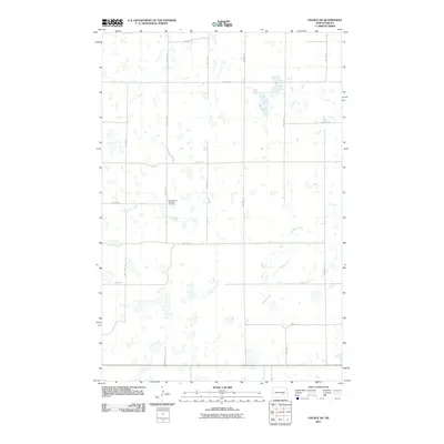
2011 Map of Gackle NE
USGS Topo · Published 2011About this map
The Seventh Day Adventist Cemetery stands as a focal point for local history in this section of LaMoure County, situated near the intersection of 50th St Se and 65th Ave Se. This 2011 survey reveals a landscape defined by the North Dakota prairie's complex hydrology, where numerous small wetlands and basins are scattered across the township. The drainage of Buffalo Creek meanders through the southeastern portion of the map, providing a natural contrast to the rigid, mile-by-mile grid of section roads like 48th St Se and 69th Ave Se. This arrangement illustrates the enduring influence of the Public Land Survey System on the state's agricultural development, where movement and settlement are dictated by the cardinal directions and the seasonal flow of prairie waterways.
Find a feature on this map
17 named features on this map. Tap any name to fly to it.
Don’t see what you’re looking for? This feature index may not catch every label — zoom into the map to look around manually.
Map Details
Editions of this 2011 Gackle NE Map
This is the sole edition of this map. No revisions or reprints were ever made.
Other maps of this area

1896 · Jamestown
USGS Topo · 1:125,000

1952 · Jud NW
USGS Topo · 1:24,000

1952 · Eldridge SW
USGS Topo · 1:24,000

1953 · Jamestown
USGS Topo · 1:250,000

1953 · Cleveland SE
USGS Topo · 1:24,000

1953 · Jud
USGS Topo · 1:24,000

1953 · Cleveland SW
USGS Topo · 1:24,000

1956 · Jamestown
USGS Topo · 1:250,000

1983 · Alfred
USGS Topo · 1:24,000

1983 · Gackle North
USGS Topo · 1:24,000