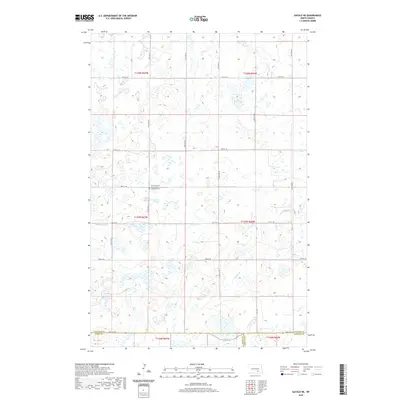
2020 Map of Gackle NE
USGS Topo · Published 2020About this map
The prairie landscape of the Missouri Plateau is defined by its seasonal wetlands and glacial depressions in this 2020 survey of southeastern North Dakota. The Gackle Country Seventh Day Adventist Cem serves as a primary landmark in a region characterized by its expansive agricultural grid and complex water systems. This map captures a unique intersection of political boundaries where three counties meet: Stutsman, Logan, and LaMoure. The slow drainage of Buffalo Cr meanders through the eastern portion of the quadrangle, illustrating the subtle hydrology of the Northern Plains. The organized network of section roads, including 47th St SE and 54th St SE, provides a framework for the rural homesteads and farmsteads that occupy this productive portion of the Drift Prairie.
Find a feature on this map
18 named features on this map. Tap any name to fly to it.
Don’t see what you’re looking for? This feature index may not catch every label — zoom into the map to look around manually.
Map Details
Editions of this 2020 Gackle NE Map
This is the sole edition of this map. No revisions or reprints were ever made.
Other maps of this area

1896 · Jamestown
USGS Topo · 1:125,000

1952 · Jud NW
USGS Topo · 1:24,000

1952 · Eldridge SW
USGS Topo · 1:24,000

1953 · Jamestown
USGS Topo · 1:250,000

1953 · Cleveland SE
USGS Topo · 1:24,000

1953 · Jud
USGS Topo · 1:24,000

1953 · Cleveland SW
USGS Topo · 1:24,000

1956 · Jamestown
USGS Topo · 1:250,000

1983 · Alfred
USGS Topo · 1:24,000

1983 · Gackle North
USGS Topo · 1:24,000