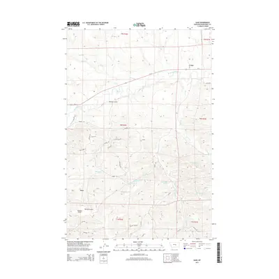
2014 Map of Gage
USGS Topo · Published 2014About this map
The Musselshell River corridor dominates this landscape, carving a wide valley through the high plains. The small community of Gage sits along Us-12 and the river's northern bank, while the settlement of Klein is positioned further south near the complex drainage of Barrigan Coulee. This 2014 survey reveals an intricate network of local ranch and access roads, such as Log Cabin Rd and Shovelhead Way, that navigate the broken terrain between Willow Cr and the various branches of Parrot Cr. The presence of several numbered springs, including 08N26E28DB 01 Spring and 08N27E29BCA 01 Spring, indicates the vital importance of water management in this semi-arid region, further evidenced by the N-F Ditch irrigation infrastructure near the river.
Find a feature on this map
45 named features on this map. Tap any name to fly to it.
Don’t see what you’re looking for? This feature index may not catch every label — zoom into the map to look around manually.
Map Details
Editions of this 2014 Gage Map
This is the sole edition of this map. No revisions or reprints were ever made.
Other maps of this area

1954 · Roundup
USGS Topo · 1:250,000

1958 · Roundup
USGS Topo · 1:250,000

1979 · Roundup
USGS Topo · 1:100,000

1979 · Gage NE
USGS Topo · 1:24,000

1979 · Harper Coulee
USGS Topo · 1:24,000

1979 · Gage
USGS Topo · 1:24,000

1979 · Roundup
USGS Topo · 1:24,000

1980 · Dunn Mountain North
USGS Topo · 1:24,000

1980 · Signal Mountain
USGS Topo · 1:24,000

1986 · Lake Mason SE
USGS Topo · 1:24,000