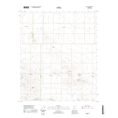
2020 Map of Gage SW
USGS Topo · Published 2020About this map
The Cedar Mountain Range dominates the southern landscape of this New Mexico quadrangle, where the border of Grant and Luna Counties cuts through high desert terrain. This 2020 survey illustrates a land managed for water and livestock, characterized by numerous catchment basins including Sleeper Tank, Murray Tank, and Rocky Tank. These artificial water sources support activity in a region defined by dry washes like Seventysix Draw and Cedar Grove Draw. Significant elevations are clearly marked, providing a detailed view of Sheep Mtn, Deer Mtn, and Round Hill. The north is anchored by Tod Hunter Reservoir, a primary feature in a landscape where terrain and seasonal water flow dictate the spatial organization of the territory. The map serves as a contemporary record of these named peaks and the essential water infrastructure that sustains the area.
Find a feature on this map
16 named features on this map. Tap any name to fly to it.
Don’t see what you’re looking for? This feature index may not catch every label — zoom into the map to look around manually.
Map Details
Editions of this 2020 Gage SW Map
This is the sole edition of this map. No revisions or reprints were ever made.
Other maps of this area

1918 · Hachita
USGS Topo · 1:62,500

1918 · Victorio
USGS Topo · 1:62,500

1954 · Silver City
USGS Topo · 1:250,000

1955 · Douglas
USGS Topo · 1:250,000

1958 · Silver City
USGS Topo · 1:250,000

1959 · Douglas
USGS Topo · 1:250,000

1961 · Douglas
USGS Topo · 1:250,000

1962 · Silver City
USGS Topo · 1:250,000

1963 · Gage SW
USGS Topo · 1:24,000

1963 · Gage NW
USGS Topo · 1:24,000