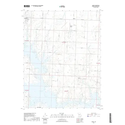
2017 Map of Gaines
USGS Topo · Published 2017About this map
Harry S Truman Reservoir dominates the southern landscape of this Henry County region, where the winding arms of the reservoir submerge the lower reaches of several local waterways. The map illustrates a rural area defined by its drainage systems, including Sparrow Foot Creek, Pretty Bob Creek, and Dumpling Creek. Small community centers like Gaines, Alberta, and the northern outskirts of Brownington appear alongside a systematic grid of county roads such as SE 200th Rd and SE Hwy W. In the northwest, the edge of Clinton is visible, featuring the Englewood Cem and the Clinton Regional Airport. This 2017 survey reflects the modern intersection of aviation, regional transportation, and the significant impact of 20th-century water management projects on the Missouri landscape.
Find a feature on this map
36 named features on this map. Tap any name to fly to it.
Don’t see what you’re looking for? This feature index may not catch every label — zoom into the map to look around manually.
Map Details
Editions of this 2017 Gaines Map
This is the sole edition of this map. No revisions or reprints were ever made.
Other maps of this area

1887 · Clinton
USGS Topo · 1:125,000

1894 · Clinton
USGS Topo · 1:125,000

1941 · Valhalla
USGS Topo · 1:24,000

1941 · Lowry City
USGS Topo · 1:24,000

1945 · Lowry City
USGS Topo · 1:24,000
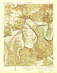
1945 · Valhalla
USGS Topo · 1:24,000

1947 · Jefferson City
USGS Topo · 1:250,000

1953 · Gaines
USGS Topo · 1:24,000
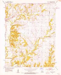
1953 · Calhoun East
USGS Topo · 1:24,000

1953 · Clinton South
USGS Topo · 1:24,000