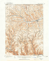
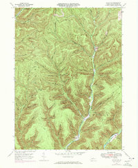
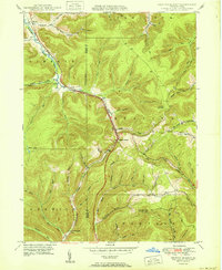
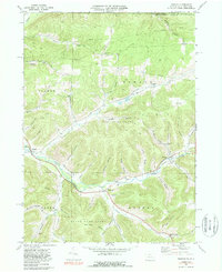
1900 Map of Gaines
USGS Topo · Published 1922About this map
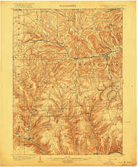
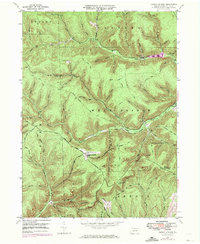
The Cowanesque River corridor anchors this turn-of-the-century landscape, serving as the primary artery for both transportation and industry along the northern border of Pennsylvania. Two major rail systems, the New York Central and Hudson River and the Buffalo and Susquehanna R. R., intersect near Westfield, highlighting the importance of this region as a transition point between the northern timberlands and southern markets. Industrial activity is specifically noted at Tannery near Harrison Valley, suggesting a local economy still tied to the processing of forest resources.
Find a feature on this map
77 named features on this map. Tap any name to fly to it.
Don’t see what you’re looking for? This feature index may not catch every label — zoom into the map to look around manually.
Map Details
Editions of this 1900 Gaines Map
5 editions found
Historical Maps of Westfield Through Time
45 maps found
1899 Gaines
Potter County, PA
1900 Gaines
Potter County, PA

1932 Genesee
Potter County, PA
1937 Genesee
Potter County, PA
1947 Ayers Hill
Potter County, PA
1947 Cherry Springs
Potter County, PA
1947 Conrad
Potter County, PA
1947 Conrad
Potter County, PA
1947 Oleona
Potter County, PA
1947 Short Run
Potter County, PA
1948 Keating Summit
Potter County, PA
1948 Wharton
Potter County, PA
1949 Ayers Hill
Potter County, PA

1949 Cherry Springs
Potter County, PA

1949 Short Run
Potter County, PA

1950 Conrad
Potter County, PA
1950 Keating Summit
Potter County, PA

1950 Oleona
Potter County, PA

1950 Wharton
Potter County, PA
1957 Harrison Valley
Potter County, PA
1969 Brookland
Potter County, PA
1969 Ellisburg
Potter County, PA
1969 Oswayo
Potter County, PA
1969 Roulette
Potter County, PA
1969 Ulysses
Potter County, PA
1969 West Pike
Potter County, PA

1971 Short Run
Potter County, PA

1994 Cherry Springs
Potter County, PA

1994 Conrad
Potter County, PA

1994 Wharton
Potter County, PA

1995 Oleona
Potter County, PA

2023 Ayers Hill
Potter County, PA

2023 Brookland
Potter County, PA

2023 Cherry Springs
Potter County, PA

2023 Conrad
Potter County, PA

2023 Ellisburg
Potter County, PA

2023 Harrison Valley
Potter County, PA
2023 Keating Summit
Potter County, PA
2023 Oleona
Potter County, PA
2023 Oswayo
Potter County, PA
2023 Roulette
Potter County, PA

2023 Short Run
Potter County, PA

2023 Ulysses
Potter County, PA

2023 West Pike
Potter County, PA

2023 Wharton
Potter County, PA