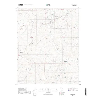
2017 Map of Gainesville
USGS Topo · Published 2017About this map
Gainesville serves as the focal point of this Ozark County landscape, where the town layout meets a complex network of ridges and deep hollows. The local topography is defined by prominent elevations such as Timbered Knob and Lily Ridge, while the drainage system is anchored by Lick Cr and its various tributaries including Becky Cobb Cr and Harrison Cr. The map reveals a dispersed settlement pattern typical of the Missouri Ozarks, with community life centered around sites like the Gainesville Memorial Airport and several historic burial grounds.
Find a feature on this map
79 named features on this map. Tap any name to fly to it.
Don’t see what you’re looking for? This feature index may not catch every label — zoom into the map to look around manually.
Map Details
Editions of this 2017 Gainesville Map
This is the sole edition of this map. No revisions or reprints were ever made.
Other maps of this area

1890 · Mountain Home
USGS Topo · 1:125,000

1891 · Mountain Home
USGS Topo · 1:125,000

1893 · Yellville
USGS Topo · 1:125,000

1894 · Mountain Home
USGS Topo · 1:125,000

1903 · Yellville
USGS Topo · 1:125,000

1905 · Yellville
USGS Topo · 1:125,000

1929 · Yellville
USGS Topo · 1:125,000

1934 · Gainesville
USGS Topo · 1:48,000

1936 · Thornfield
USGS Topo · 1:48,000

1940 · Gainesville
USGS Topo · 1:62,500