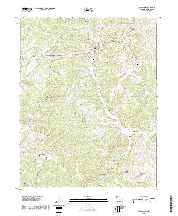
2021 Map of Gainesville
USGS Topo · Published 2021About this map
Gainesville serves as the central hub of this Ozark plateau landscape, anchored by the Ozark County Courthouse and the nearby Gainesville Cem. The town's layout is defined by the intersection of State Hwy 80 and State Hwy T, with the Gainesville Memorial Airport situated on the northeast outskirts. The terrain is deeply dissected by numerous watercourses, including Lick Cr, Hogard Cr, and Harrison Cr, which have carved out distinct topographical features like Lily Ridge and the prominent Timbered Knob.
Find a feature on this map
50 named features on this map. Tap any name to fly to it.
Don’t see what you’re looking for? This feature index may not catch every label — zoom into the map to look around manually.
Map Details
Editions of this 2021 Gainesville Map
This is the sole edition of this map. No revisions or reprints were ever made.
Other maps of this area

1890 · Mountain Home
USGS Topo · 1:125,000

1891 · Mountain Home
USGS Topo · 1:125,000

1893 · Yellville
USGS Topo · 1:125,000

1894 · Mountain Home
USGS Topo · 1:125,000

1903 · Yellville
USGS Topo · 1:125,000

1905 · Yellville
USGS Topo · 1:125,000

1929 · Yellville
USGS Topo · 1:125,000

1934 · Gainesville
USGS Topo · 1:48,000

1936 · Thornfield
USGS Topo · 1:48,000

1940 · Gainesville
USGS Topo · 1:62,500