
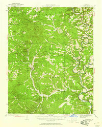
1934 Map of Gainesville
USGS Topo · Published 1934About this map
Gainesville serves as the focal point of this Ozark County survey, which documents the complex drainage basins of the White River and North Fork during the mid-1930s. The landscape is defined by its dependency on river crossings and small rural institutions, as evidenced by a network of named crossings like Osburn Ford, Pumphrey Ford, and White Ferry. These river access points, along with scattered country schools such as Nebraska Sch and Bohner Sch, suggest a decentralized agricultural community tied to the seasonal behavior of the local waterways.
Find a feature on this map
57 named features on this map. Tap any name to fly to it.
Don’t see what you’re looking for? This feature index may not catch every label — zoom into the map to look around manually.
Map Details
Editions of this 1934 Gainesville Map
2 editions found
Other maps of this area

1890 · Mountain Home
USGS Topo · 1:125,000

1891 · Mountain Home
USGS Topo · 1:125,000

1893 · Yellville
USGS Topo · 1:125,000

1894 · Mountain Home
USGS Topo · 1:125,000

1903 · Yellville
USGS Topo · 1:125,000

1905 · Yellville
USGS Topo · 1:125,000

1929 · Yellville
USGS Topo · 1:125,000

1936 · Thornfield
USGS Topo · 1:48,000

1936 · Ava
USGS Topo · 1:48,000

1937 · Buckhart
USGS Topo · 1:48,000