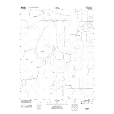
2011 Map of Gaither
USGS Topo · Published 2011About this map
The settlement of Capps anchors the northern portion of this Arkansas landscape, where the terrain transitions into the prominent heights of Gaither Mountain and Kennedy Mountain. This 2011 survey documents a region defined by its numerous family-named coves and points, including Sims Cove, Butler Cove, and Jones Point. The intricate drainage system of the West Fork Crooked Creek and Terrapin Creek carves through the Ozark topography, influencing the placement of early homesteads and cemeteries.
Find a feature on this map
115 named features on this map. Tap any name to fly to it.
Don’t see what you’re looking for? This feature index may not catch every label — zoom into the map to look around manually.
Map Details
Editions of this 2011 Gaither Map
This is the sole edition of this map. No revisions or reprints were ever made.
Other maps of this area

1904 · Harrison
USGS Topo · 1:125,000

1905 · Harrison
USGS Topo · 1:125,000

1945 · Harrison
USGS Topo · 1:250,000

1949 · Harrison
USGS Topo · 1:250,000

1954 · Harrison
USGS Topo · 1:250,000

1958 · Harrison
USGS Topo · 1:250,000

1964 · Harrison
USGS Topo · 1:250,000
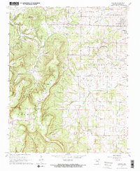
1967 · Gaither
USGS Topo · 1:24,000
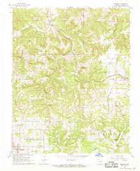
1967 · Bergman
USGS Topo · 1:24,000
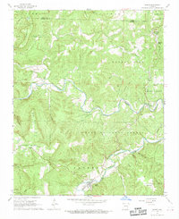
1967 · Jasper
USGS Topo · 1:24,000