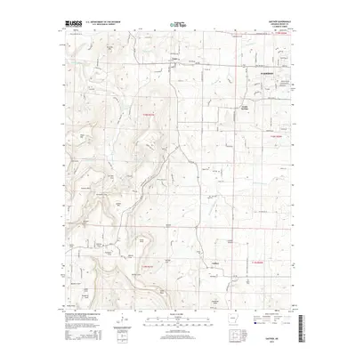
2014 Map of Gaither
USGS Topo · Published 2014About this map
Gaither Mtn dominates the central landscape of this Boone County region, dividing the drainage of the W Fork Terrapin Cr to the west from the W Fork Crooked Cr to the east. This survey captures the transition from the high ridges of Kennedy Mtn and Piney Mtn down into the pastoral openings of Gaither Prairie. Small community centers like Capps, Grubb Springs, and Gaither anchor the rural road network, which includes historical routes like Old Capps Rd S and Ar-43. The map is particularly useful for genealogical research, identifying numerous family-named burial sites including Coker Cem, Wagley Cem, and Rogers Cem. The terrain is marked by deep topographic features such as Fernsides Cove and Johnson Cove, reflecting the complex watershed of the Ozark plateau prior to modern development.
Find a feature on this map
77 named features on this map. Tap any name to fly to it.
Don’t see what you’re looking for? This feature index may not catch every label — zoom into the map to look around manually.
Map Details
Editions of this 2014 Gaither Map
This is the sole edition of this map. No revisions or reprints were ever made.
Other maps of this area

1904 · Harrison
USGS Topo · 1:125,000

1905 · Harrison
USGS Topo · 1:125,000

1945 · Harrison
USGS Topo · 1:250,000

1949 · Harrison
USGS Topo · 1:250,000

1954 · Harrison
USGS Topo · 1:250,000

1958 · Harrison
USGS Topo · 1:250,000

1964 · Harrison
USGS Topo · 1:250,000
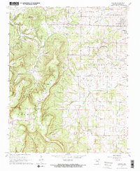
1967 · Gaither
USGS Topo · 1:24,000
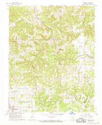
1967 · Bergman
USGS Topo · 1:24,000
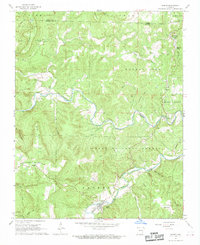
1967 · Jasper
USGS Topo · 1:24,000